

**This research was first published in the March 26, 2025 edition of the Chatham Star-Tribune newspaper as part of Kyle Griffith’s weekly segment entitled “Heritage Highlights.”
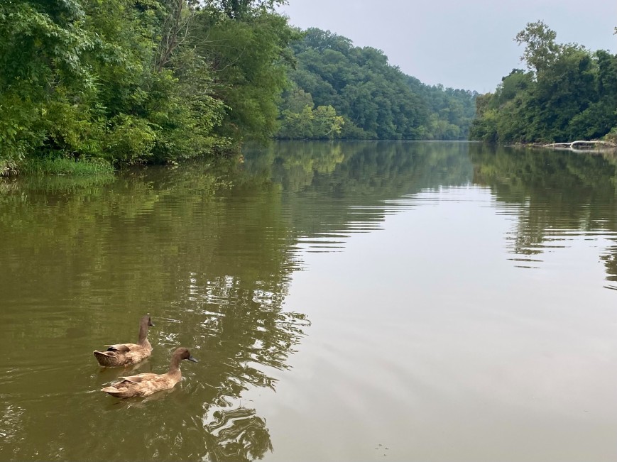
A pair of ducks traveling down Dan River
Unlike most of the waterways of Virginia which flow into the mouth of the Chesapeake Bay, the rivers in Pittsylvania County lead down to the Albemarle Sound of North Carolina. The local rolling hills contain a variety of powerful creeks that reach toward the center of the county. Between the Albemarle Sound and the site of Occoneechee, the Roanoke River was historically known as the Morotock (spelled “Moratuc” in the 1750s Fry-Jefferson Map). At Occoneechee, the river forks off toward the northwest and the southwest. When Col. William Byrd surveyed the Virginia and North Carolina boundaries in 1728, he chose names for the newly charted waterways and kept detailed notes in his journal, where one entry reads: “we call’d this South Branch of Roanoke the Dan as I had call’d the North Branch the Stanton before.” After setting up camp for the day he wrote: “we markt out our Quarters on the Banks of a purling Stream, which we call’d Casquade Creek, by reason of the Multitude of Water-Falls that are in it.” The Dan and the Staunton influenced the northern and southern boundaries of Pittsylvania County while allowing new business to flourish during the eighteenth and nineteenth centuries. The rivers functioned as highways and railroads do today, serving as avenues of travel and transport for heavy goods. Early settlers took the opportunity to harness the water’s power and develop the first local grist mills during the late 1740s.
Before the first bridges were constructed, travelers braved the water and traversed the Staunton across its lowest fording points. About two centuries ago locals crossed at Anthony’s Ford near the current site of Smith Mountain Lake, or slightly east at Plum Tree Ford and Taylor’s Ford, as well as Cherless Ford near the mouth of Old Woman’s Creek. Pocket Ford crossed near the Smith family’s Pocket plantation, and Ward’s Ford was near the current crossing of Ward’s Road / Mansion Bridge Road. Along the south, a selection of ferrying businesses operated to transport people and supplies across the Dan. Near Cascade there was Perkins’ Ferry and then Wilson’s Ferry near Dan’s Hill Plantation. Owen’s Ferry and Dix’s Ferry crossed into land now including the City of Danville when it was a growing tobacco inspection station.
One of the main tributaries of the Dan was named in honor of a close friend to Col. Byrd, the early naturalist John Banister, whose life was lost during an expedition near the lower Roanoke River in 1692. Over the course of time, the Banister River has fed the creeks and runs leading into many notable mills including Whitefall, Mt. Airy, Motley’s Mill, Galveston, Beaver’s Mill, and Pigg’s Mill.
Flowing from the north, a main tributary of the Staunton was settled by members of the Pigg family in the 1740s. One section of the Pigg River is known as “the frying pan” that features an accompanying creek of the same name. The frying pan is situated in a strong meandering bend with a long and narrow neck that makes up the “handle” of the shape. Over the next few centuries, it’s possible that the neck will erode and develop into an oxbow lake that is no longer connected to Pigg River.
During the past one hundred years, our major rivers have been drastically altered in the name of hydroelectric power. Between 1947 and 1952, a dam was constructed at Bugg’s Island, where the Roanoke splits in Mecklenburg County. The reservoir submerged over 50,000 acres of historic land and islands significant to local indigenous culture. In a similar situation, the Smith Mountain Dam was constructed during the 1960s and submerged over 20,000 acres of historic farmland, including the short-lived settlement of Monroeton that developed during the 1820s and ‘30s. In recent generations, use of the local waterways as a method of travel and a source of power has fallen away. As some rivers and creeks became the source of a community’s founding, they are now often hidden away as an afterthought during day-to-day travel. However, they still hold many stories to keen eyes of the history that once flowed through their waters.